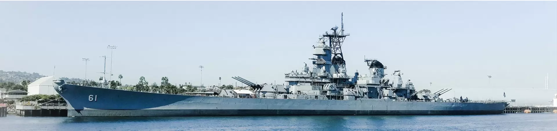
Due to the complex geographical location of the border area, the distribution of key border monitoring areas such as the unattended border station site and the entry-exit port site is wide, and the distance from the monitoring center is far, resulting in the inconvenience of law enforcement monitoring, and the border requires day and night defense inspection, making the traditional monitoring solutions have not been able to meet the needs of border monitoring.
With the rapid development of computer technology, radar technology, infrared laser and thermal imager technology, it is more convenient to monitor and discover the invasion of people from a distance. Therefore, the establishment of remote infrared night vision monitoring and thermal imager monitoring systems has become an important step in the scientific and intelligent development of border surveillance systems.
The system integrates a variety of intelligent image processing functions, is based on GIS thunder linkage technology, vehicle, personnel information management technology, AR (augmented reality) technology, AI (artificial intelligence) technology, Internet of Things technology, big data and other advanced technologies gradually developed in recent years, to build a radar GIS data highly integrated, ultra-real three-dimensional comprehensive prevention and control system.
Seamless all-weather coverage of key areas
By organically aggregating the high and low point video data, GIS radar data, GPS vehicle data, personnel patrol data, important equipment operation data and other multi-source data into the video, with the customized business process of customers, in a more intuitive, friendly and efficient experience way, to solve the air and ground anti-terrorism prevention and control, public security prevention and control in key areas. Integrated command and information fusion in multiple service scenarios such as emergency command.
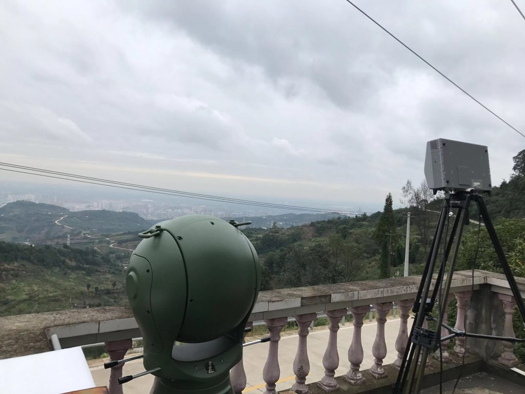
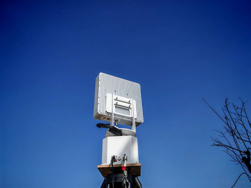
Through long-range early warning radar, long-range, high-precision three-spectrum AI intelligent night vision tracking system, low acoustic and optical early warning integration camera protection equipment, UAV defense system and other carriers, the use of thunder and light linkage, dynamic label navigation, spatial coordinate positioning, panoramic interface integration, AI intelligent identification, heterogeneous data aggregation and other advanced technologies, to achieve a centralized unified management platform to the air, Three-dimensional prevention and control command operations in key areas such as ground, coast and border defense.
Through careful debugging and reasonable parameter setting, the system has the best image quality, the highest resolution and the most convenient operation. With the real-time image enhancement function, the system can obtain the same high-quality image effect in rain and fog weather and low illumination at night, and further improve the discovery and recognition distance.
The whole system adopts detachable and modular design, and the whole machine can be divided into multiple packages, which is convenient for transportation, installation and maintenance of the outfield. The intelligent integrated video surveillance system has the features of high cost performance, good security, high reliability, strong maintainability, wide compatibility, and meeting the requirements of various application scenarios.