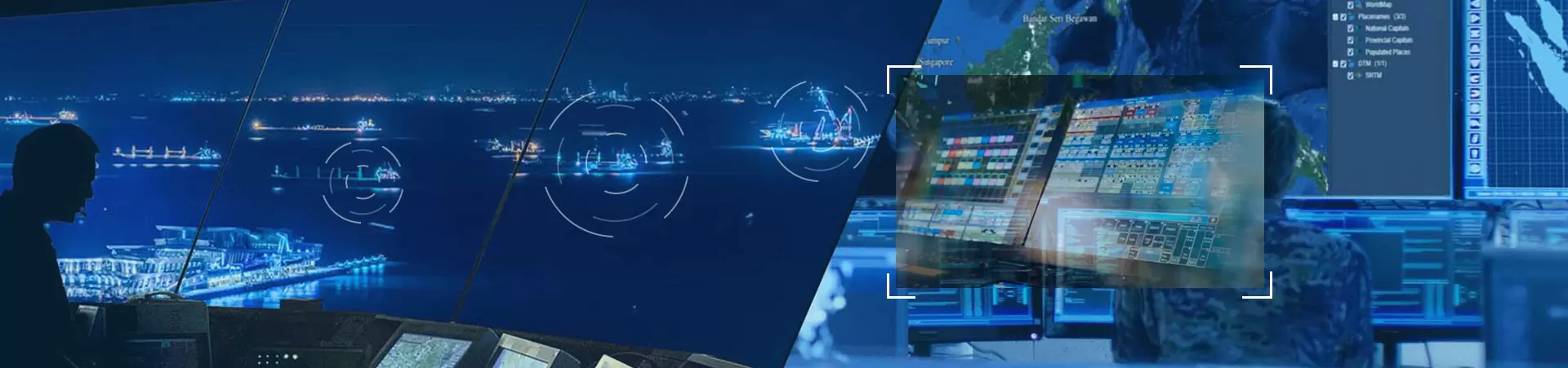

With the popularization of unmanned aerial vehicle (UAV) technology, its threats in military reconnaissance, terrorist attacks, illegal mapping and other fields have become increasingly prominent, driving the rapid development of UAV countermeasures technology towards "multi-means coordination and intelligent upgrading". The multi-modal fusion constructed by Lookout Technology: "three-dimensional detection" of radar, optoelectronics and spectrum, combined with "three-layer countermeasures" of laser, interference and physical interception, builds a defense system without blind spots.
System architecture:

System workflow:

Initial detection: After the system starts up, it first enters the initial detection stage. All kinds of detection devices start to work, conducting a comprehensive scan of the surrounding airspace. Radio spectrum detectors, radars, photoelectric/infrared devices and other equipment work in coordination, not missing any possible drone signals, providing basic data for subsequent identification and countermeasures.


Target recognition: Based on the detected signal characteristics, the system enters the target recognition stage. Through advanced algorithms and database comparisons, accurately determine the type, model and flight intention of the unmanned aerial vehicle. The accuracy of this stage directly affects the effectiveness of subsequent countermeasures, and the system needs to have strong data analysis and processing capabilities.

Positioning and tracking: Once the identity of the unmanned aerial vehicle is determined, the system immediately enters the positioning and tracking stage. By using wide-area multi-point positioning, passive monitoring and other technologies, the position of the unmanned aerial vehicle (UAV) is precisely determined, and its flight trajectory is continuously tracked. Operators can keep abreast of the real-time movements of the drones and be well-prepared for countermeasures.

Countermeasure execution: Based on the type, position and flight intention of the unmanned aerial vehicle, the system selects appropriate countermeasures for execution. If it is a long-range drone, radio interference or GPS deception can be adopted. If it is a close-range unmanned aerial vehicle, physical interception or directed energy weapons can be used.

Effect evaluation: After the countermeasures are completed, the system enters the effect evaluation stage. By monitoring the status and flight trajectory of the unmanned aerial vehicle, it is determined whether the countermeasures have been successful. If the countermeasures are not effective, the system will readjust its strategy and launch another counterattack to ensure that the drones are completely under control.